
July 16, 2026
Why Weathernews LiVE Can Deliver the “Here and Now” of a Typhoon Faster Than Anyone Else



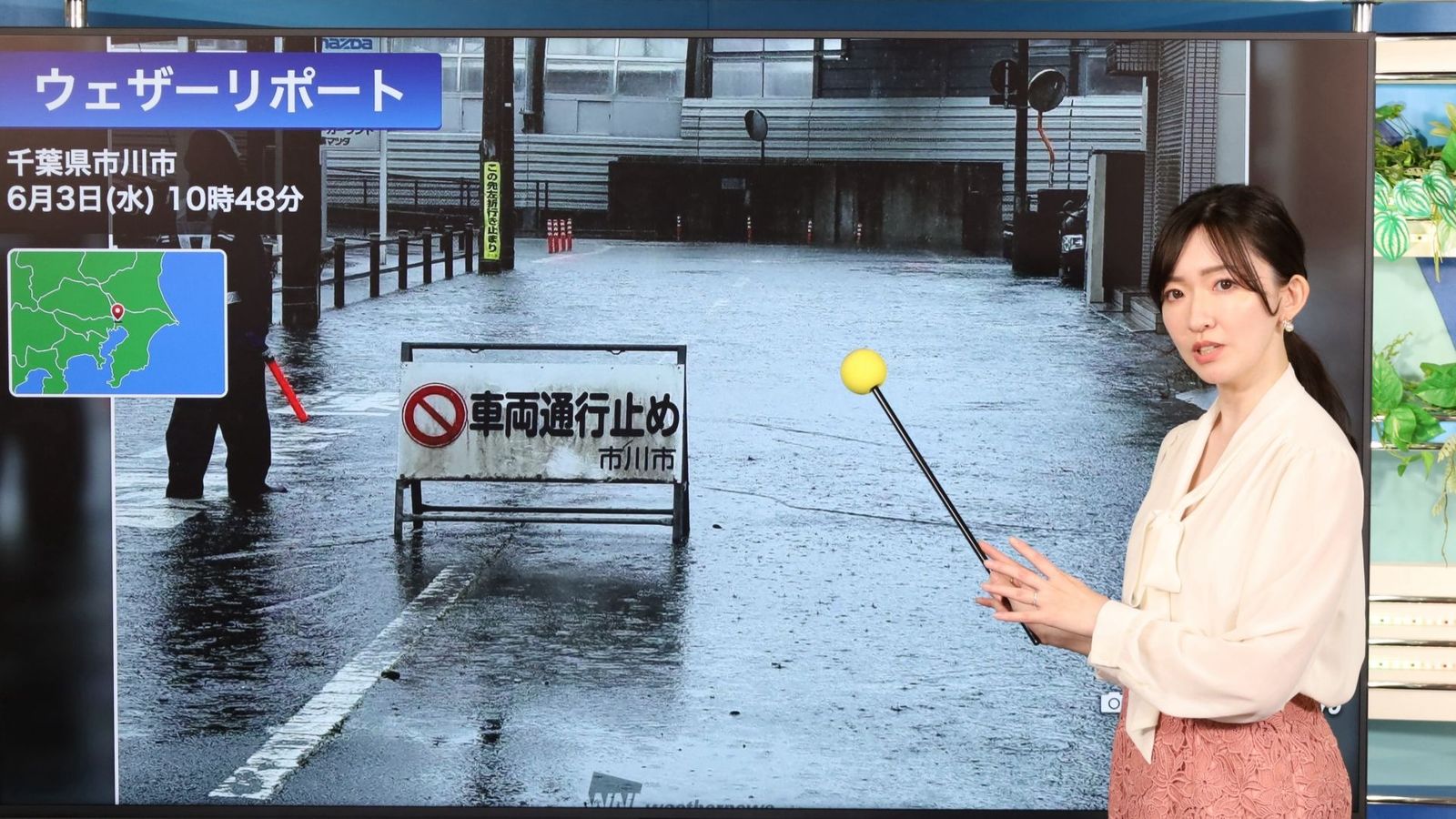
Hi everyone! I'm Sayane Egawa, a Weathernews caster and member of our public relations team.
Thank you so much for your continued support. We're thrilled to share that the Weathernews LiVE YouTube channel has recently surpassed 1.6 million subscribers!
This milestone belongs to every one of you who tunes in daily and sends us Weather Reports from across Japan. It's your trust, and your voices from the field, that keep pushing us forward in our mission to be a media outlet people genuinely rely on when it matters most. To everyone who sends us Weather Reports: thank you, from the bottom of my heart.
Today, I'd like to take you behind the scenes of something you don't usually see on screen: the training our casters and production staff go through to stay ready for whatever the weather throws at us.
A Valuable Report Sent by Users Who Want to Help Someone
Our day-to-day broadcasts are designed to keep weather engaging and approachable, something you'd want to check every morning. But when severe weather strikes, everything shifts.
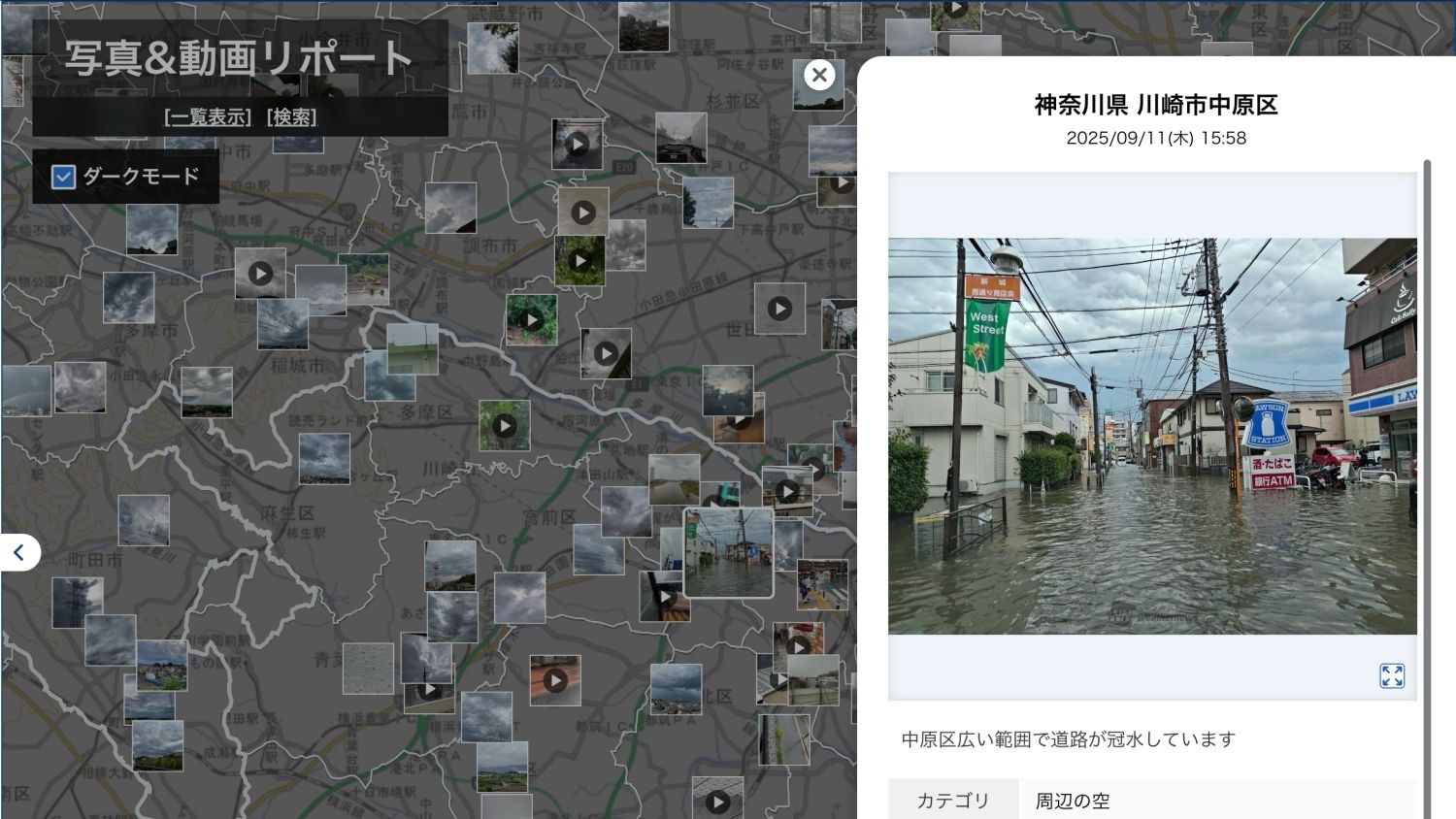
In those moments, we commit to three things: 24-hour immediacy, expert meteorological commentary, and live voices from the field. And the most powerful element driving all three? The Weather Reports sent in by people across Japan.
When heavy rain or strong winds threaten daily life, our inboxes fill with photos and videos from users who simply want to help others stay safe. These reports capture what's happening on the ground in ways that data alone never can. They are absolutely irreplaceable.
That's why we, as casters, feel such a strong sense of mission to communicate this information accurately and connect it to people's safety. That said, past broadcasts have revealed a challenge: taking the time to carefully introduce each individual report sometimes meant we couldn't convey the full picture of what was unfolding across multiple locations. When reports pour in at high volume, it means danger is spreading fast, and we can't afford to slow down.
So we asked ourselves: How can we deliver life-saving information from our users more accurately, and more quickly?
To answer that question, we hold hands-on training sessions that bring together our production staff and casters.
A Realistic Drill Based on Typhoon No. 6: 20 Minutes of Continuous, Script-Free Broadcasting
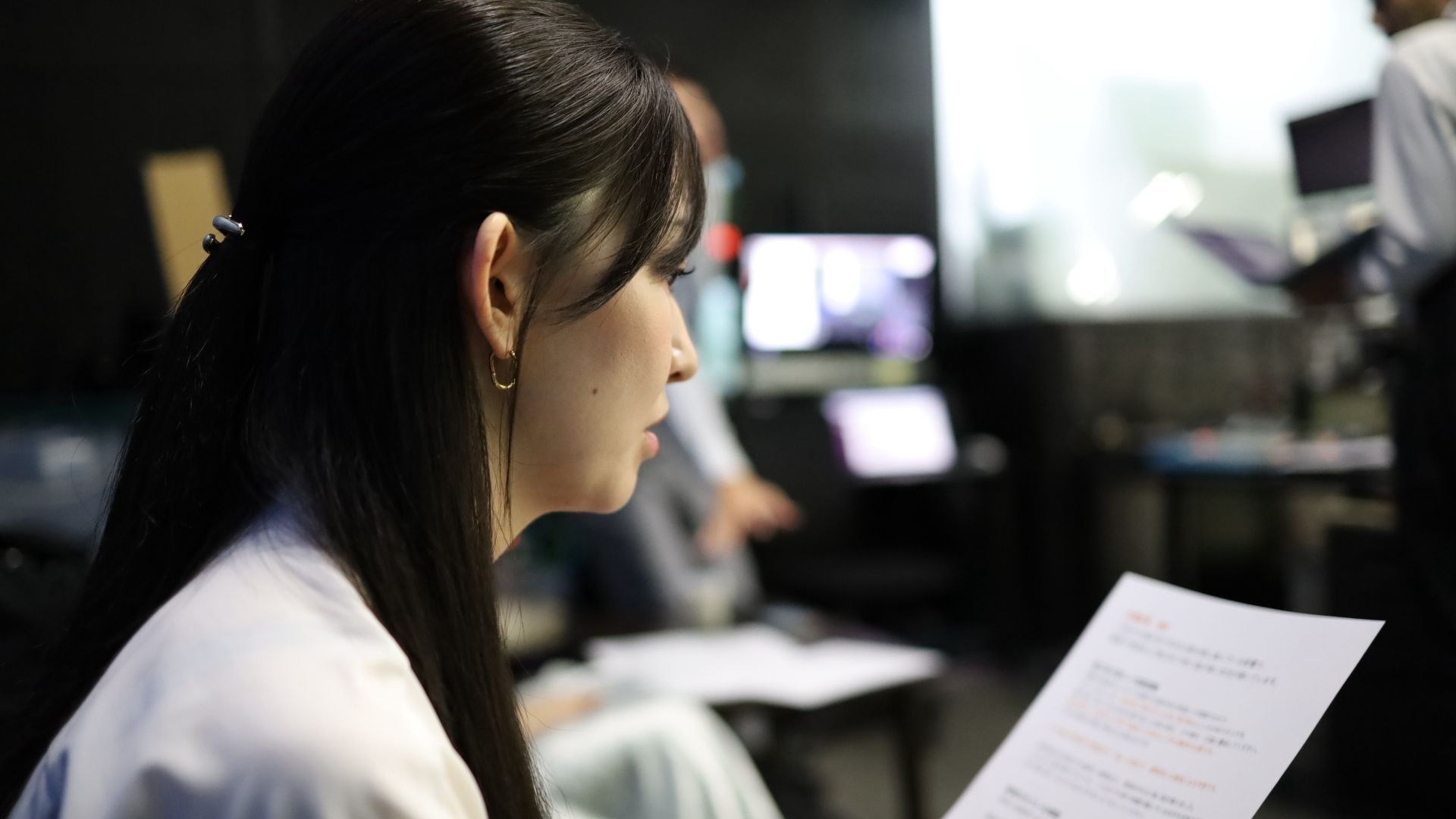
This training was built around a simulation of a typhoon bringing severe rain and wind to the Kanto region. We recreated the exact production environment used in a real broadcast, using actual Weather Reports from Typhoon No. 6, which had a significant impact on Kanto, along with real observational data from AMeDAS.
The moment we stepped into the studio, the warm everyday atmosphere gave way to sharp, focused tension.
While managing the Weathernews Pro terminal in real time, each caster had to weave together objective AMeDAS data and a continuous stream of incoming Weather Reports, all without a script, for a full 20 minutes.
How Much Information Can We Read From a Single Report Image?
Weather Reports often come with user comments, but we never simply read those aloud.
Instead, we try to picture the situation the sender is actually facing and extract every detail visible in the image. We might say, "You can see how fierce the wind is from the way those objects are being swept across the ground," or "The road has turned into a river. Going outside right now would be dangerous." We translate what we see into words, giving viewers a fuller and more immediate sense of conditions on the ground.
We believe this is part of our responsibility as broadcasters covering disaster prevention.
Identifying What Matters Most and Turning It Into Action
During a typhoon, many viewers are frightened and unsure whether to evacuate. No matter how tense the situation gets, we stay close to those concerns and calmly decide what needs to be said at that very moment, then communicate it clearly and flexibly.
Objective data is essential. But simply stating that "AMeDAS values are rising" doesn't necessarily move people to act.
That's why we combine data with real-time reports coming in from across the country and ask: What do viewers need to know next? For example: "The rain has eased, but upstream reports show rising water levels. Rather than reassuring viewers too early, let's give them more specific river information so they're prepared for what's coming."
We choose our information and wording carefully, moment by moment, with one goal: helping to protect lives.
We don't stop at explaining why a situation is dangerous. We take it one step further and tell people exactly what to do right now. We believe that kind of concrete, actionable guidance is what actually leads to evacuation behavior.
Tracking Weather That Changes Every Minute
Before each broadcast, our casters hold a weather briefing with our meteorological experts. We review how conditions are expected to evolve across the country, identify emerging risks, and use that understanding to shape the flow of the program.
But weather doesn't follow a script. Even during a three-hour live broadcast, rain clouds can approach faster than expected or sudden strong winds can develop with almost no warning.
Some of the most critical moments actually happen during our five-minute program interval. In that short window, the director, meteorologists, and casters align on what deserves the most attention, whether that's a localized guerrilla thunderstorm or a developing linear precipitation band. Together, we track every shift at the weather front and update our coverage accordingly.
Rather than clinging to a pre-planned script, we rebuild our explanations in real time based on what's actually unfolding beyond the screen. This ability to adapt is at the core of our 24-hour mission, and it's a source of pride we won't compromise on.

A Weather Program Built Together With You: Something AI Alone Can't Replicate
Recent advances in AI have made weather forecasting more accurate than ever. But when it comes to what conditions are actually like on the ground right now, and how dangerous they truly are, data alone isn't enough. Weathernews' greatest strength is the Weather Reports sent in by our viewers and users.
Every single one of those reports is a real voice filled with goodwill: "This is what it's like in my town right now. Please be careful too." That's why we train constantly, refining every second of our on-air communication, so we can deliver your reports as quickly and clearly as possible.
Reaching 1.6 million subscribers isn't a goal we've checked off. It's a responsibility. It means that millions of people are looking up at the sky alongside us, trusting us to help keep them safe.
We don't broadcast weather in one direction. We receive each precious report you send, interpret it carefully, and return it to you through the screen in a form that's genuinely useful. The warmth behind every report, "I want to help someone," is something we, as casters and staff, work every day to honor.
This training reminded me, once again, that this two-way relationship of trust is what makes Weathernews LiVE truly one of a kind.
Going forward, together with you, we'll keep building a program that watches over the daily sky and helps protect what matters most.
Share
October 16, 2026
Chiba Torrential Rain Disaster: How Weathernews Protected Employees and Maintained Business Continuity
September 15, 2026
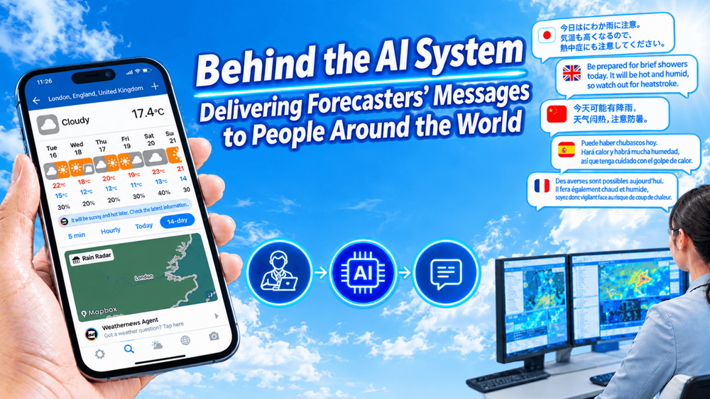
Behind the AI System Delivering Forecasters’ Messages to People Around the World in Just Three Lines
![[2026 Kumamoto Earthquake] How Weathernews LiVE Protects Lives Through User Reports and Expert Analysis](https://gvs.weathernews.jp/wni_blog_media/large_20260914_top_3958fce7fc.png)
September 14, 2026
[2026 Kumamoto Earthquake] How Weathernews LiVE Protects Lives Through User Reports and Expert Analysis