January 29, 2026
Closing the Information Gap Between Sea and Shore: How a New “Real-Time” Onboard System Is Shaping the Future of Shipping

Weathernews was founded with a single, strong belief: we want to protect the lives of seafarers.
The accident that led to our founding reflects a reality of the past. Once ships left port, crews had to navigate the oceans in isolation with extremely limited means of communication. While society on land rapidly became connected and information-driven throughout the 1990s, satellite communications at sea remained expensive with limited bandwidth. The information gap between land and sea continued to widen year after year.
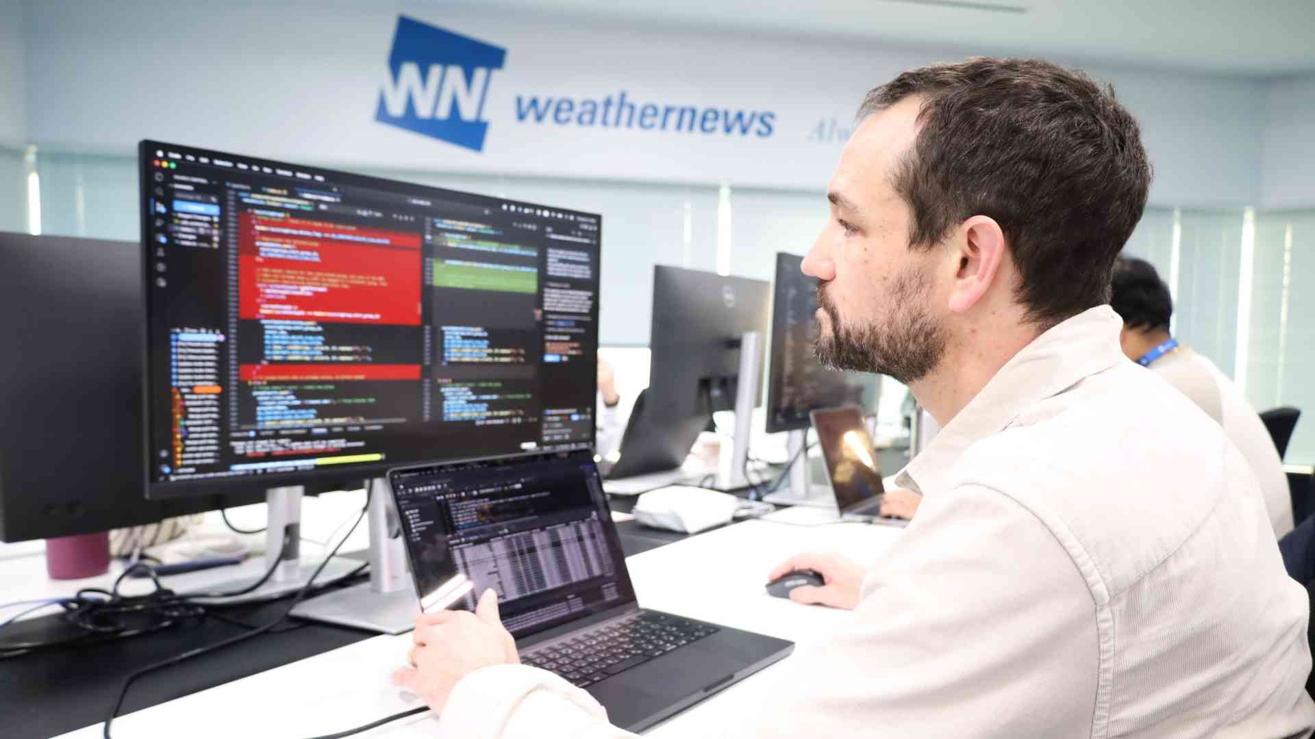
In this blog post, we speak with Miles, one of the developers behind “SeaNavigator for Master,” a new onboard system designed to directly support ship captains. He shares the story behind its development and the key principles that shaped the product.
Accelerating Maritime Digital Transformation Without Leaving Seafarers Isolated: Supporting Safe Navigation and Optimal Route Selection
The lack of timely information at sea has long been a major challenge for the shipping industry, affecting safety, operational efficiency, and environmental performance.
Today, however, this situation is changing dramatically.
The launch of maritime services such as Starlink in 2022 has made high-speed, high-capacity broadband increasingly available at sea. This shift is transforming not only how voyage information is shared, but also for crew welfare, enabling seafarers who spend months onboard to stay connected with their family and loved ones back home.
Another major driver of change is the tightening of CO₂ emission regulations by the International Maritime Organization (IMO). As reducing environmental impact becomes more urgent, captains are now required to analyze weather and ocean conditions in real time to select routes that are both safe and fuel-efficient.
In response to these changes, Weathernews has renewed its onboard system for the first time in nearly a decade. SeaNavigator for Master is designed to fully leverage modern network environments and aims to eliminate the information gap between sea and shore, ensuring captains are never left isolated.
Designed for Timeliness: SeaNavigator for Master's Uncompromising Focus on Real-Time Data
The greatest strength of SeaNavigator for Master is how current its information is.
With conventional services, users had to install dedicated software on PCs, and limitations on daily data transmission often meant crews had to rely on yesterday's data or low-resolution information. Even when shore-based operations teams detected changes in weather conditions, they could only reach captains via email or phone, creating inevitable time lags between land and sea.
SeaNavigator for Master takes a different approach. It's a fully online service accessible through a web browser on onboard computers. As long as network connectivity is available, the system automatically retrieves the latest weather information and displays it on maps. If the connection drops temporarily, the most recent data is cached for offline viewing, so critical information never suddenly disappears.
Vessels using SeaNavigator for Master can view high-resolution marine weather data across all sea areas, including wind direction and speed, wave height and period, ocean currents, and typhoon track forecasts—overlaid on nautical chart-style maps. This allows captains to intuitively grasp conditions in detail, even while at sea.

Another key feature is the world’s first AI agent designed specifically for maritime use. This AI agent delivers weather information tailored to both shore-based operators and onboard crews. It automatically consolidates data related to the vessel's route and surrounding conditions, allowing captains to receive operational support as naturally as consulting a colleague sitting beside them.
When we began onboard trials, we realized maritime networks weren't as robust as initially expected. Bandwidth remained limited for daily operations, so we carefully redesigned how data was handled. By optimizing data volume, the system now displays real-time position data, AIS (Automatic Identification System) information from all vessels, and high-resolution weather data, making it truly practical for use at sea.
We also placed tremendous emphasis on intuitive user interface design. While English is the standard language at sea, crews come from diverse cultural backgrounds. To ensure shared understanding, we minimized text and relied heavily on icons. The final design emerged from extensive discussions among Weathernews' multinational staff and repeated rounds of testing and refinement.

Already Adopted by 20 Companies: A Communication Tool Connecting Sea and Shore
I have a somewhat unconventional background. While working as an English instructor in Japan, I became interested in programming and taught myself through hands-on development courses and online programs. Along the way, I built a simple system to automate scheduling and work-hour calculations at my workplace, gaining practical development experience. After that, I joined Weathernews as a developer, and I've now been working on frontend development for maritime services for nearly five years.
This project presented many challenges, each offering important lessons.
The biggest was language. The Sea team at Weathernews is highly multinational. We have staff who speak Japanese and Korean, Japanese and English, Korean and English, but no single common language. We used AI and translation tools during meetings and internal chats, gradually making communication smoother.
This release was made possible thanks to many colleagues: leaders who generously shared years of expertise and provided steady guidance; the Korea team, who leveraged their experience as seafarers to develop accurate, practical data; and the developers who worked alongside me to drive UI/UX design forward. I truly believe it was everyone's collaboration that enabled our successful release.
Time zone differences also posed challenges during sales. Responding quickly to overseas sales staff requests, or even simple things like scheduling meetings (UTC or JST?) created small but accumulating communication delays. It took time to adapt. By actively sharing calendars and maintaining open communication, we overcame these obstacles step by step.
As a native English speaker from the United States, I often serve as a bridge for English communication within the company. Since English is also the standard language at sea, I'm directly involved in trials and presentations to captains, allowing me to convey the product's value firsthand. I feel this role lets me make the most of my identity and background.
Today, SeaNavigator for Master is already being used across 20 companies worldwide. Captains are telling us things like "Accessing real-time information has become so much easier" and "It was a lifesaver during Typhoon No. 18." This feedback confirms that having current, reliable data at sea makes a real difference.
As we look to the future, we're planning updates tailored to the different needs we're seeing across regions. In Europe, shipping companies often want the ability to edit routes themselves and calculate fuel savings. In Asia, there's stronger demand for routes created by our meteorological experts, backed by around-the-clock professional support. We're working to serve both approaches and also developing enhanced communication features to make it easier for shore and ship teams to collaborate in real time.
Weathernews will continue listening closely to the voices of seafarers and remain committed to delivering services that truly help protect lives at sea.
Learn more about SeaNavigator for Master, a next-generation navigation support service designed for captains.
Share
![[Developer Interview] Building the World’s Most Accurate Wave Forecasting Model](https://gvs.weathernews.jp/wni_blog_media/large_20260331_TOP_177db7c4c9.JPG)
April 1, 2026
[Developer Interview] Building the World’s Most Accurate Wave Forecasting Model
April 1, 2026
Enhancing Safety for Vessels and Coastal Operations with a Weather IoT Sensor You Can Deploy Anywhere: Enabling Hyper-Local AI Forecasting in Ports
March 27, 2026
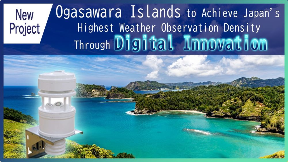
Ogasawara Islands to Achieve Japan's Highest Weather Observation Density Through Digital Innovation