WITH Radar
Mission
Early detection of rapidly developing cumulonimbus clouds to mitigate effects from sudden understorms and tornados
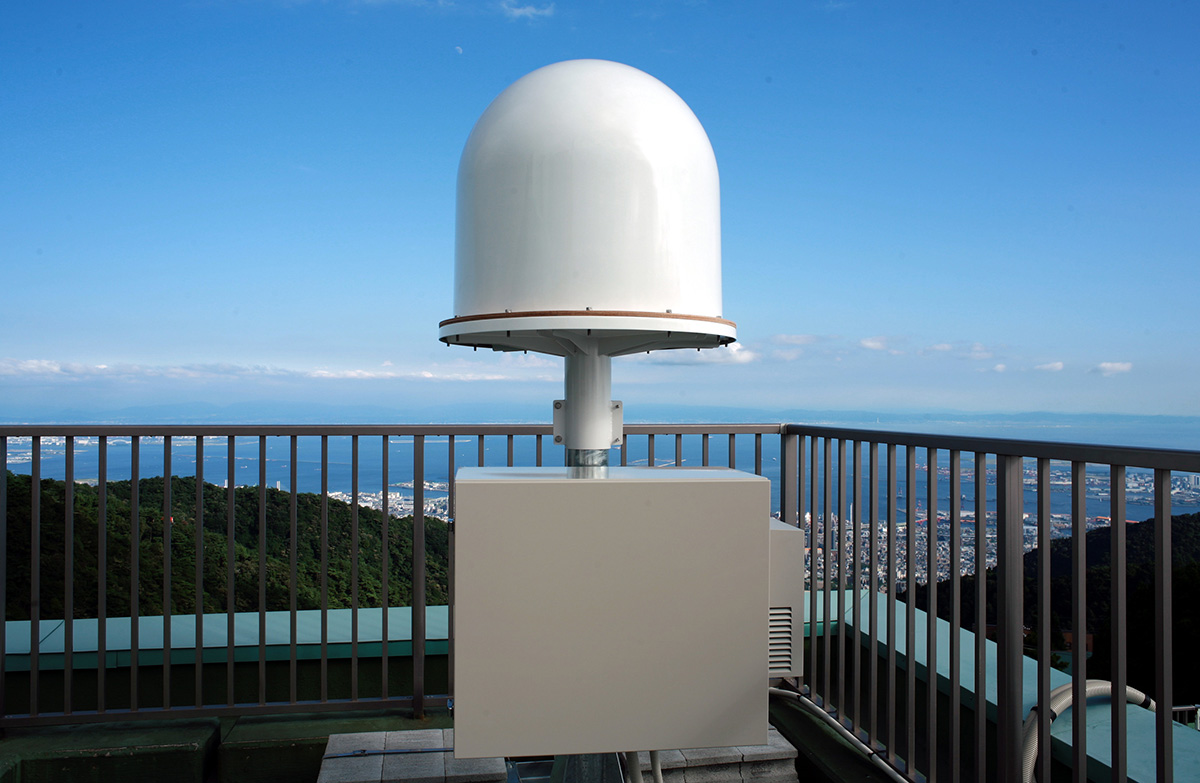
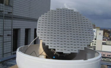
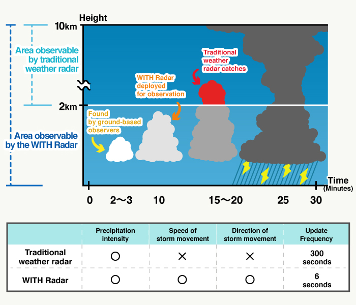
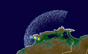
The WITH Radar was developed using aviation Doppler radar with the latest in meteorological technology in order to capture rapidly developing cumulonimbus clouds that often bring damage in the form of sudden torrential thunderstorms, wind gusts and tornados. Normal weather radars are limited to catching clouds only 2km or higher with scans available only once every 5 minutes making it next to impossible to assess the try risks in advance. The WITH Radar makes a complete scan of a 50km2 area every 6 seconds and captures precipitation intensity, and the direction and speed of movement of the storm cell in the lower troposphere to capture clouds forming even lower than 2km. The scans are also three-dimensional allowing us to also capture the development of the clouds as well. There are approximately 80 WITH Radars deployed in Japan, generally near major transportation centers, making it the largest radar network in the country.
Case Study
Observation of Cumulonimbus the Produced a Thunderstorm
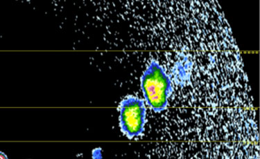
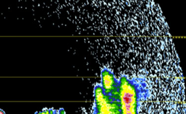
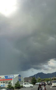
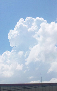
Just after this WITH Radar scan, Weathernews Supporters started to send photos of cumulonimbus clouds and reports of thunderstorms.
12:03
Izumo, Shimane
12:31
Izumo, Shimane